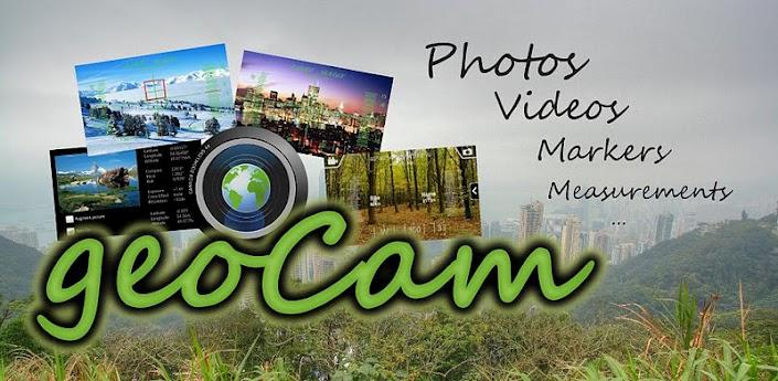


GeoCam Pro v4.32
Requirements: Android 2.2 and up
Overview:
GeoCam by Wazar is the leading geophoto and video application for
Android. It uses augmented reality to show on top of your camera a layer
of geographical information such as Compass orientation, GPS position
and different phone inclinations like a theodolite optical instrument.
لمحة عامة: GeoCam بواسطة Wazar هو تطبيق geophoto والفيديو الرائدة في
مجال الروبوت. ويستخدم لزيادة حقيقة واقعة تظهر في أعلى الكاميرا طبقة من
المعلومات الجغرافية مثل اتجاه البوصلة، موقف لتحديد المواقع وهاتف توجهات
مختلفة مثل صك البصرية المزواة.
[break]
GeoCam by Wazar is the leading geophoto and video application for
Android. It uses augmented reality to show on top of your camera a layer
of geographical information such as Compass orientation, GPS position
and different phone inclinations like a theodolite optical instrument.
What you can do with GeoCam:
* GeoPictures: an original way of storing your holiday photo album. See
all you pictures on Google Maps or on Google Earth on your personal
computer with the export feature. Add markers with your comments on
places you liked. You can share these albums with anyone who can run
Google Earth, and use the EXIF GPS data stored by GeoCam to view them
with any EXIF compatible application.
* GeoVideos: the first app to let you record videos with an embed layer
of geographical data. A useful addition to pictures - you can see pitch,
roll and compass orientation over time on charts.
* Bearings: GeoCam is an accurate measure tool. It shows your compass
orientation (choose between magnetic or geographic North), your
inclination and elevation with readable cursors (like a cockpit HUD). It
can be used in terrain mapping, on a glide, sailing, mountain biking...
* Measurements: Evaluate the distance to any object with the
triangulation feature. You can also measure its height once the distance
is known. This is not done by showing any unreadable cursor on the
screen, but with mathematical formulas. Choose between metric and
imperial measure systems.
* GeoCaching: prepare a list of key places in an area and view them with
your camera on augmented reality: name, distance. You will not require a
data connection so it can be used when hiking abroad, when visiting
another city... This will help you make sure you are going in the right
direction and give you remaining distance. You can also add markers
during your hike with the "Add here" option, for example to flag the
base camp, a water source, or anything interesting you find on your way.
With GeoCam Pro, you get:
* No Ads
* Record and playback augmented video. This is a powerful tool in
addition to geophoto to record the topology of any area for further
reference, as you can add your own audio commentary. Augmented video is
an exclusivity of GeoCam by Wazar.
* Export KMZ files to Google Earth, to display your pictures and markers
in their original location and orientation, and share them easily.
@seth: this is not a GeoCam message! Please get in touch
If for some reason this does not work on your device, best is to contact
me by email so that I can fix any issues. I won't be able to help if
you do not get in touch.
* If you do not get a GPS signal, try opening Google Maps and wait for
it to update satellites (until you get a fine location and the GPS icon
stops blinking) then restart GeoCam. If Google Maps cannot get a GPS
signal, make sure your device GPS is enabled (Settings - Location)
* If you like the app, please rate it :) There are more than 500 downloads but only 14 ratings
* When a picture is saved, it's path Alias is displayed. It starts with
'external'. When looking for it, 'sdcard\DCIM\Camera' is a good place
to start.
More Info:
Download Instructions: Released by chathu_ac
http://www7.zippyshare.com/v/60061111/file.html